
OpenStreetMap
Open collaborative world map used by navigation and geographic projects.
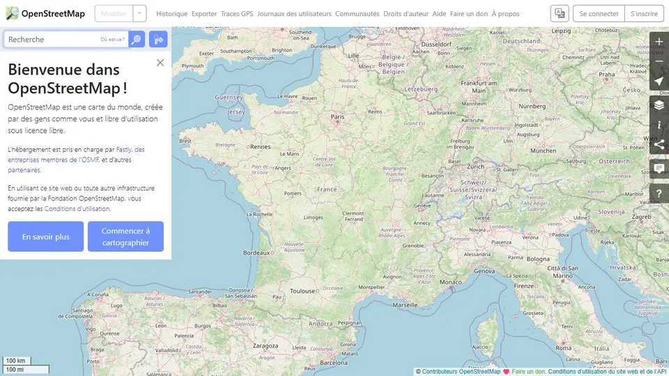
Screenshot captured on an unrecorded date. The current website may have changed.
Explore a collaborative map
Locate routes and places on an open map.
Check first: Confirm local access and details that may change.

Compare this resource with other directory records →
A map image or objects for analysis?
- Displayed map
- Read a visual representation.
- Exported data
- Examine objects and their attributes.
- Define the area and objects needed for your question.
- Choose a small export or an extraction service suited to the volume.
- Record date, filters and attributes used in the analysis.
Fictional example: a map shows two parking icons. This establishes neither equal capacity nor real-time availability; examine relevant attributes and their limits.
Your useful record: Keep area, date, extraction tool, filters and selected attributes.
Documentation distinguishes extraction tools; the editing API is not for bulk downloads.
Editorial method informed by OpenStreetMap — Downloading data. Documentation consulted on . Examples are fictional exercises, not results from a live service test.
Read the objects behind the map
OpenStreetMap describes features through nodes, ways and relations with associated tags.
| Element | Meaning |
|---|---|
| Node | A point element in the data structure. |
| Way | A sequence of nodes representing lines or outlines. |
| Tag | A key-value pair, such as highway=footway. |
| surface | Describes material such as asphalt or gravel; it does not establish access rights by itself. |
| smoothness | Describes physical surface regularity relevant to wheeled travel. Read it alongside material and travel mode. |
Try the reasoning
Illustrative situation. A path appears on the map. Does this establish that your trip is practicable today?
Read the explanation
No. Inspect relevant tags and current local information. A geometry on a map does not confirm conditions on the ground.
Documentation for the table : OpenStreetMap Wiki — Map features · . The exercise is an editorial example.
Separate map data from map services
OpenStreetMap provides collaboratively maintained map data under the ODbL. Attribution rules depend in part on how maps or data are used. Data access is not a free unlimited tile API for third-party websites.
- Licence
- ODbL for the data; read reuse obligations.
- Credits
- Attribute OpenStreetMap and its contributors.
- Services
- Read tile, API or Nominatim policies separately.
- Public geocoding
- The nominatim.openstreetmap.org policy includes an application-wide maximum of one request per second and prohibits client-side autocomplete. It concerns that instance, not every Nominatim service.
- Plan usage
- Read the policy, plan result caching and allow switching providers; displaying a map does not authorise bulk geocoding.
- Data versus routing engine
- Several routing engines use OpenStreetMap data. Different suggested routes can reflect different profiles or algorithms rather than a map change.
Source: OpenStreetMap Wiki — Routing · consulted on - Compare a suggestion
- Keep engine, travel mode and endpoints with the result. Inspect the actual route and local information; the OpenStreetMap name alone does not explain a third-party planner’s choices.
Source: OpenStreetMap Wiki — Routing · consulted on - Data and documentation
- Map data is under the ODbL; website documentation is stated to be under CC BY-SA 2.0. Do not automatically transfer conditions from one resource type to another.
Source: OpenStreetMap — Copyright and licence · consulted on - Attribution format
- Credit requirements differ for a browsable map, a printed map and a static image. Consult the rules for the format actually published.
Source: OpenStreetMap — Copyright and licence · consulted on
Can I embed OpenStreetMap website tiles without limits?
No. Check the selected service’s policy and design the integration around its permitted usage.
Initial profile documentation
- Séparer données cartographiques et services de carte / Separate map data from map services ↗
- OSMF — Politique du service public Nominatim ↗
Initial profile documentation consulted on . Added details carry their own source and consultation date above.
Editorial selection, without website certification. Read our method.