

Science and environment
Visit the official website ↗IGN
French public maps, geographic data and resources on land and forests.
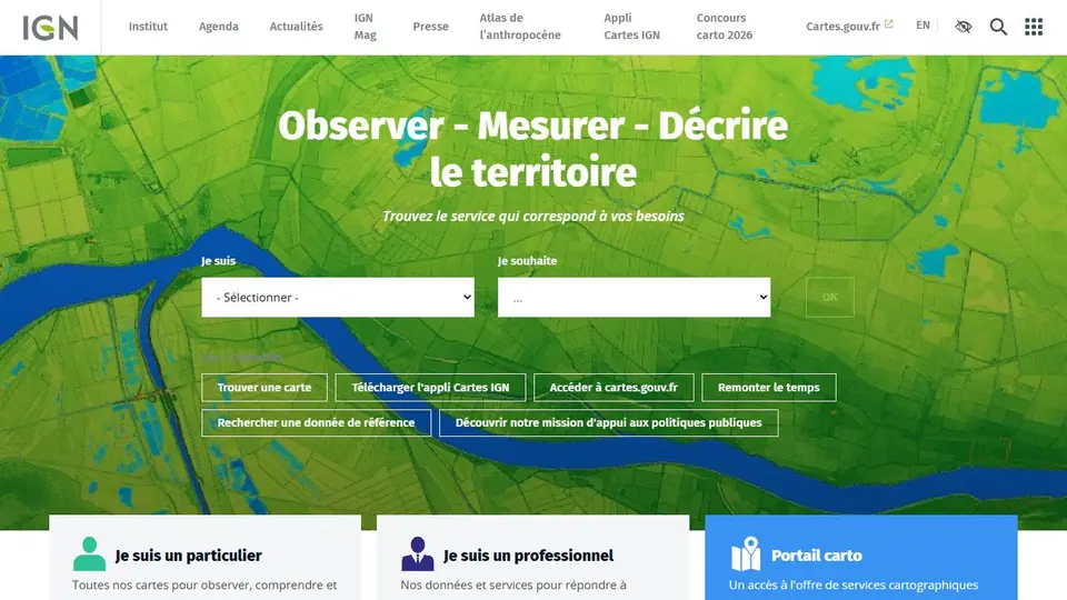
Screenshot captured on an unrecorded date. The current website may have changed.
Choose geographic data for a question
Select the background, layer and scale relevant to the territory or measure.
Check first: Read dates and precision; a map alone does not establish property rights.
Compare this resource with other directory records →
Choose between institution, data and interactive map
IGN.fr presents geographic and forest work. Use the relevant map service to explore, and dataset documentation to reuse data. The portal access date differs from survey or aerial-image dates.
- Metadata
- Producer, edition, resolution and coverage.
- Reuse
- The particular dataset’s licence.
Is a detailed view necessarily recent?
No. Read the edition and metadata of the displayed layer.
Official documentation
Documentation consulted on .
Editorial selection, without website certification. Read our method.