

BRGM
Public geological data and expertise on groundwater, minerals, the subsurface and geological risks.
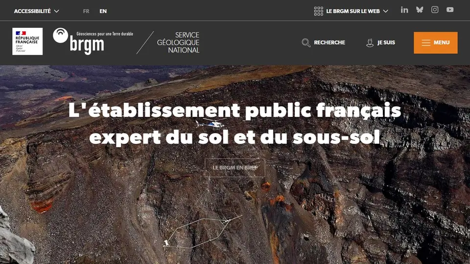
Screenshot captured on an unrecorded date. The current website may have changed.
Interpret a geological resource
Select the map or dataset suitable for the groundwater, subsurface or hazard question.
Check first: Read scale, collection date, method and local limitations.
Compare this resource with other directory records →
Read a geological layer in context
- Basemap
- Locate the place.
- Thematic layer
- Read geoscience information.
- Name the location and displayed layer.
- Read available legend, scale and metadata.
- Separate observations, interpretations and missing data.
Fictional example: no symbol appears at a point; that does not prove a subsurface phenomenon is absent.
Your useful record: Keep layer, legend, scale and link.
This reading does not replace field investigation.
Editorial method informed by BRGM — À propos d’InfoTerre. Documentation consulted on . Examples are fictional exercises, not results from a live service test.
Read geological data at the appropriate scale
BRGM produces and shares knowledge about ground, subsurface and related resources. Read a map or report with its area, scale, legend and method. Keep the layer or document source: a background map and a local observation do not convey the same information.
- Fields
- Geology, groundwater, resources and subsurface-related risks.
- Resources
- Publications, data and specialist services.
- Reading
- Scale, legend, date and document precision.
- Specialised viewer
- InfoTerre provides access to BRGM geoscience layers.
Source: BRGM — À propos d’InfoTerre · consulted on - Subsurface database
- BSS layers and geological maps differ from basemaps.
Source: BRGM — À propos d’InfoTerre · consulted on
Does a regional map precisely describe a plot?
Precision depends on scale and method. Check its intended use before making a local decision.
Why keep the report reference?
It helps recover the scope, assumptions and possible document versions.
Initial profile documentation
Initial profile documentation consulted on . Added details carry their own source and consultation date above.
Editorial selection, without website certification. Read our method.